Aarji Imposition Survey.
Sub Division (Aapsi Batwara)
Google Earth Mapping Imposition
Description.

We strive to provide all-inclusive geographical information which act as a great source of information and empower areas like Data Conversion, Land Information Systems, Natural Resources Management, Urban Planning & Geographical Information Systems Applications. Our cutting edge technology and exceptional GIS solutions enables us to give a technological push to various development projects.
As per the topographical land survey, layout marking and demarcation is done inclusive of roads, plots, commercial spaces and extra spaces for public use etc. We ensure allotment of these spaces is as per the government norms. Based on the approvals from concerned authorities and clients, layout design is marked on the respective site as instructed by the site engineer.

The National Highway Survey collects public perspectives on, and satisfaction with, Highway and Transport Services in Local Authority areas. It is a unique, standardized, collaboration between Highway Authorities across the country enabling comparison, knowledge sharing, and the potential to improve efficiencies by the sharing of good practice.
It gives participating Authorities:
- A better understanding of how they are performed
- A consistent datum for setting service
- Access to the best performers and the opportunity
Full transparency of dataThe survey conducted by Dolphin engineers is precise and largely data oriented. The quality check team analyses the entire site personally and based upon the data gathered, the results are generated.
Interior Designing
Residential Designing
Office and Work Spaces Designing
Exterior and Facade Designing
3D Visualization
Hotel and Resorts Designing
Farm House Designing
Villas Designing
Estimation of earth moving work (Filling & Cutting) is very essential data for estimating soil filling / cutting after & before earth moving work has been executed. As per the site requirements our specialist technicians work hard on site to get great precision value of your money and time.
- Quantity calculation for earth work
- Bridge, flyover locations and alignment survey.
UIT Conversion Mapping
Google Earth Mapping
Master Plan Mapping
Zonal Plan Mapping
Proposed Site Plan Mapping
Project Overview
Establish accurate property lines and boundaries to resolve disputes and facilitate transactions, ensuring peace of mind for property owners.
Project Planning
Dedicated Team & Plan With a long and given to environment slightly design planning.
satisfied Service
Dedicated Team & Plan With a long and given to environment slightly design planning.
Dedicated Team
Dedicated Team & Plan With a long and given to environment slightly design planning.
Benefits of Service
There are many variations of passages of Lorem Ipsum available, but the majority have suffered alteration.
There are many variations of passages of Lorem Ipsum available, but the majority have suffered alteration.
There are many variations of passages of Lorem Ipsum available, but the majority have suffered alteration.
There are many variations of passages of Lorem Ipsum available, but the majority have suffered alteration.
How It Works?

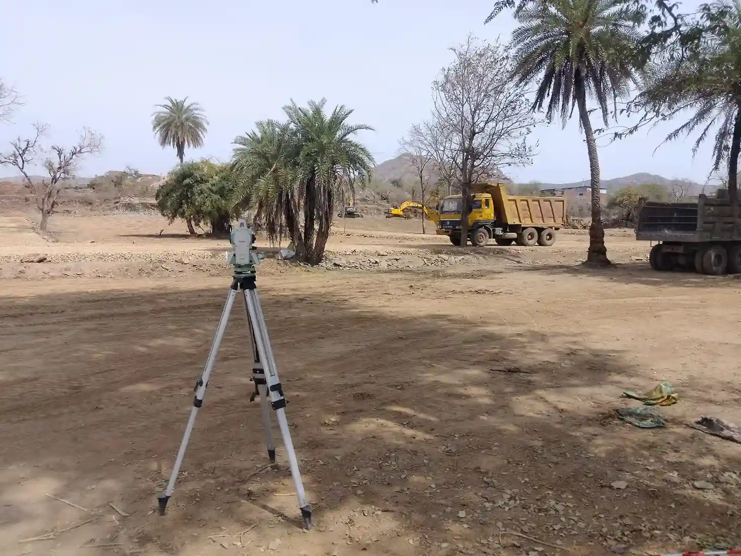
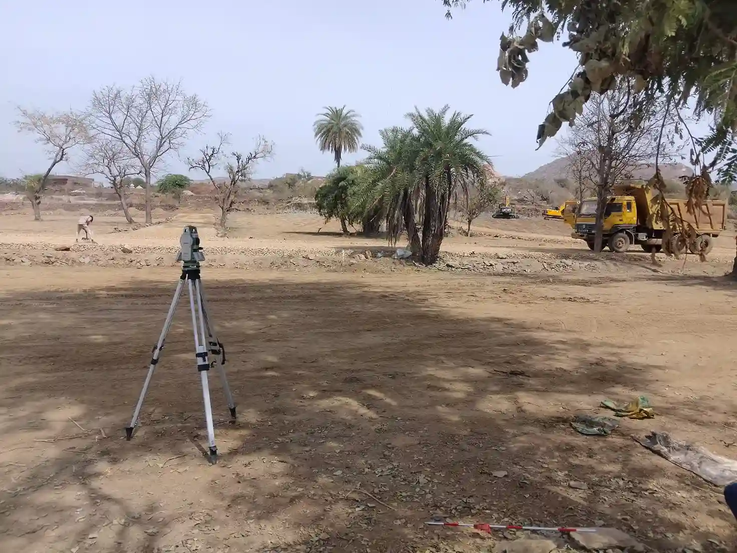
A. Contour Survey:
Our contour survey services are cost effective and can be customized to suffice the client specifications. Primary objective of conducting these surveys is to identify any noticeable difference in elevation of the existing land. Slopes matching the same height are joined using imaginary lines that are known as contours. Contour map highlights details of the existing land condition. Based on the findings of contour survey, the design team can decide on cutting, filling, widening, and leveling the land.
B. Mine Area Survey:
C. Pipe line Alignment:
D. Grid Level:
This service involves measuring physical features of the land with great precision. Based on these verifications, our survey engineers establish the dimensions, distances and angles of the land. For accurate results, concepts of geometry, trigonometry, engineering, math and physics are applied. Application of state of art technology such as GPS, AutoCAD software, and digital photography add quality to land development and construction projects.