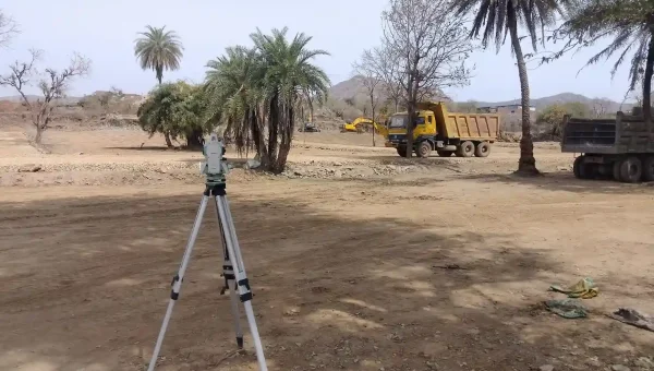
LAND SURVEY AND REVENUE RECORD SURVEY
Aarji Imposition Survey.Sub Division (Aapsi Batwara)Google Earth Mapping Imposition
Read More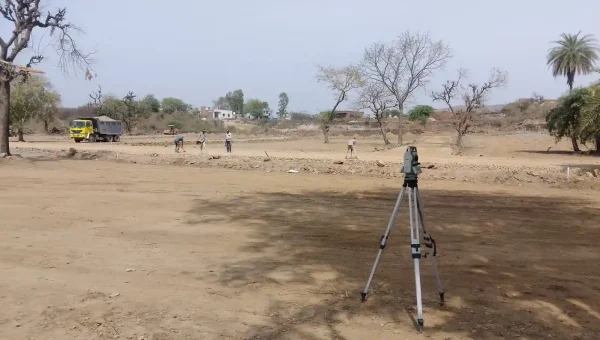
GIS Mapping
We strive to provide all-inclusive geographical information which act as a great source of information and empower areas like Data Conversion, Land Information Systems
Read More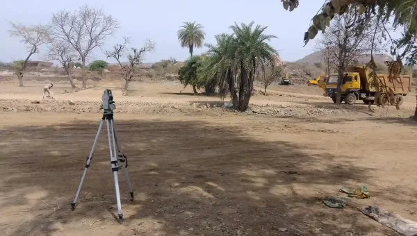
Layout Marking/Demarcation
As per the topographical land survey, layout marking and demarcation is done inclusive of roads, plots, commercial spaces and extra spaces for public use etc.
Read More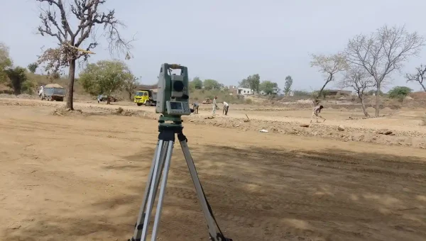
National Highway Survey
The National Highway Survey collects public perspectives on, and satisfaction with, Highway and Transport Services in Local Authority areas.
Read More
Architectural and Interior Designs
Provide expert surveying and mapping services to support engineering projects, ensuring accurate data for infrastructure planning and construction.
Read More
Earth Moving Works
Estimation of earth moving work (Filling & Cutting) is very essential data for estimating soil filling / cutting after & before earth moving work has been executed.
Read More
Survey for Government Approval
Create detailed 3D models of urban landscapes, offering insights into land use, infrastructure, and potential development areas for city planning.
Read More
Boundary Surveys
Establish accurate property lines and boundaries to resolve disputes and facilitate transactions, ensuring peace of mind for property owners.
Read More
Topographic Surveys
Our contour survey services are cost effective and can be customized to suffice the client specifications. Primary objective of conducting these
Read More
Engineering Land Survey
This service involves measuring physical features of the land with great precision. Based on these verifications, our survey engineers establish the dimensions
Read More